
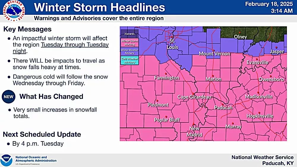
PADUCAH – The National Weather Service in Paducah says a Winter Storm Warning remains in effect from noon today until 9 Wednesday morning for our area.

Heavy snow is expected with total snow accumulations between 4 and 7 inches with locally higher amounts possible.
Roads, and especially bridges and overpasses, will become slick and hazardous. Travel will be very difficult. The hazardous conditions could impact the commutes this evening and Wednesday morning.
Light snow is possible through early this morning which may bring accumulations up to an inch along and north of a line across Illinois 13 to far northwest Kentucky, producing a few slick spots on roads. The bulk of the snowfall is expected to occur near sunset through the overnight hours.
Dangerous cold temperatures will follow after snow ends. Low temperatures well below normal with overnight winds will cause wind chills to fall to near or below zero early Wednesday morning. The greatest impacts from the extreme cold will occur Thursday morning with wind chills around -5 to -10 areawide.
If you must travel, keep an extra flashlight, food, and water in your vehicle in case of an emergency.
The latest road conditions can be obtained by visiting www.weather.gov/pah/roads or gettingaroundillinois.com.