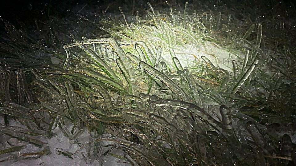
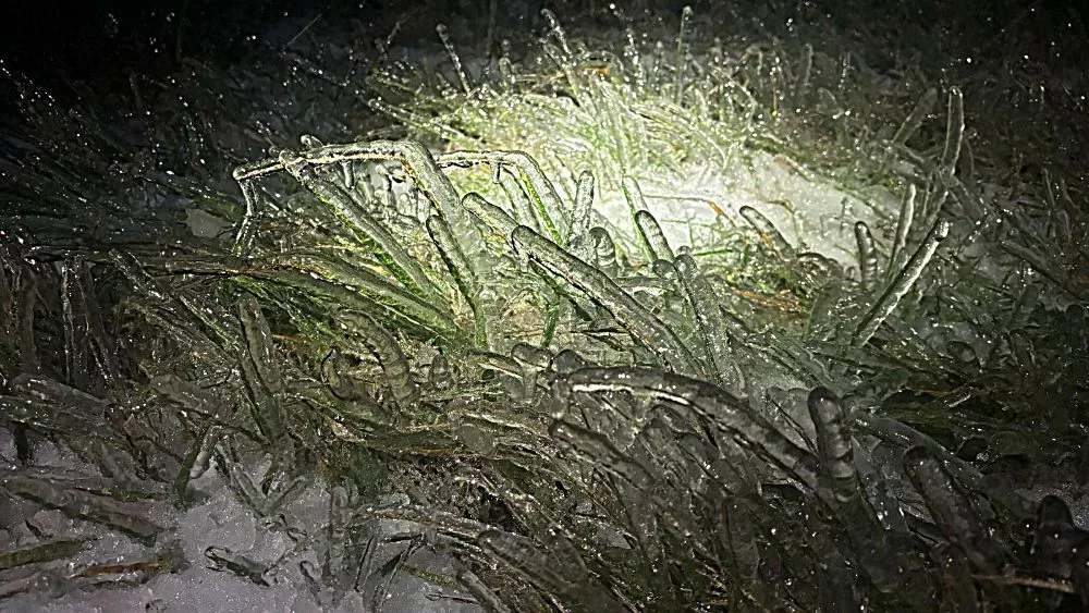
PADUCAH – The National Weather Service in Paducah has released an overview of the major ice and winter storm we experienced Sunday.

Impacts ranged from heavy snow and sleet accumulations to locations along and north of Interstate 64 in southern Illinois and southwest Indiana, to a major ice storm across parts of southeast Missouri, southern Illinois, and northwest Kentucky.
Peak snow and sleet accumulations ranged from four to eight inches. In the hardest hit areas of the ice storm, widespread ice totals of 0.25 to 0.75 inch were reported.
The heavy snow and ice, combined with persistent gusty winds, led to widespread power outages over much of southeast Missouri, southern Illinois, southwest Indiana, and northwest Kentucky.
At its peak, over 100,000 residents were without power Sunday night and Monday morning.


